Himachal Pradesh Districts List 2025: New Districts, Area. Twelve districts make up Himachal Pradesh. Mandi, Shimla, and Kangra are the three primary administrative divisions of these districts. State district magistrates govern these areas. Himachal Pradesh district division improves regional administration. Himachal Pradesh districts are listed here.
Himachal Pradesh was founded on January 25, 1971. Only 12 districts make up Himachal Pradesh. This section provides more information on certain districts.
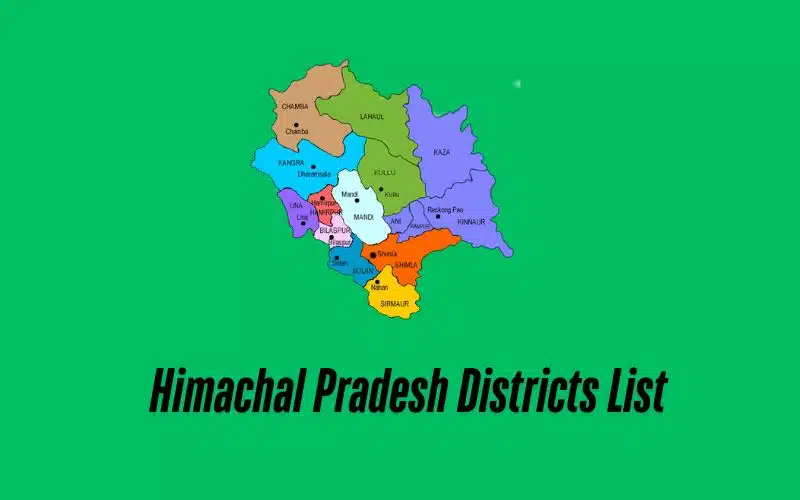
Himachal Pradesh Districts List 2025
Here’s a table listing the districts of Himachal Pradesh along with their population and area:
| District | Population (2011 Census) | Area (km²) |
|---|---|---|
| Bilaspur | 382,056 | 1,167 |
| Chamba | 518,844 | 6,528 |
| Hamirpur | 454,293 | 1,118 |
| Kangra | 1,507,223 | 5,739 |
| Kinnaur | 84,298 | 6,401 |
| Kullu | 437,474 | 5,503 |
| Lahaul and Spiti | 31,528 | 13,835 |
| Mandi | 999,518 | 3,950 |
| Shimla | 813,384 | 5,131 |
| Sirmaur | 530,164 | 2,825 |
| Solan | 576,670 | 1,936 |
| Una | 521,057 | 1,540 |
Important Facts about Himachal Pradesh:
- Name Origin: The name “Himachal” comes from the Sanskrit words “Hima” (snow) and “Anchal” (lap), meaning “in the lap of the Himalayas.”.
- Formation: Himachal Pradesh was formed in 1948 by integrating 30 princely states and four districts.
- Statehood: It became a state in 1971.
- Capital: Shimla is the summer capital, while Dharamshala is the winter capital.
- Geography: The state covers an area of 55,673 square kilometers.
- Population: As of the 2011 census, the population is 6,856,509.
- National Parks: Himachal Pradesh has five national parks.
- Languages: Hindi and Pahari are the principal languages.
- Symbols: The state animal is the snow leopard, the bird is the Western Tragopan, and the flower is the Pink Rhododendron.
- Economy: Agriculture is the main occupation, employing over 65% of the population.
Read Also: Gujarat Districts List
Himachal Divisions
Himachal Pradesh is divided into three main administrative divisions, each comprising a group of districts. Here are the divisions of Himachal Pradesh:
- Kangra Division
- Kangra
- Chamba
- Una
- Mandi Division
- Mandi
- Kullu
- Lahaul and Spiti
- Hamirpur
- Bilaspur
- Shimla Division
- Shimla
- Solan
- Sirmaur
- Kinnaur
FAQs on Himachal Pradesh Districts:
- What is the largest district in Himachal Pradesh?
- Lahaul and Spiti is the largest district.
- What is the smallest district in Himachal Pradesh?
- Hamirpur is the smallest district.
- Which district is the most populated?
- Kangra is the most populated district.
- Which district is the least populated?
- Lahaul and Spiti is the least populated district.
- What is the population of Shimla district?
- The population of Shimla district is 813,384.
- Which district has the highest population density?
- Hamirpur has the highest population density.
- Which district has the lowest population density?
- Lahaul and Spiti has the lowest population density.
- What is the area of Kullu district?
- The area of Kullu district is 5,503 square kilometers.
- Which district has the highest literacy rate?
- Hamirpur has the highest literacy rate.
- Which district has the lowest literacy rate?
- Chamba has the lowest literacy rate.