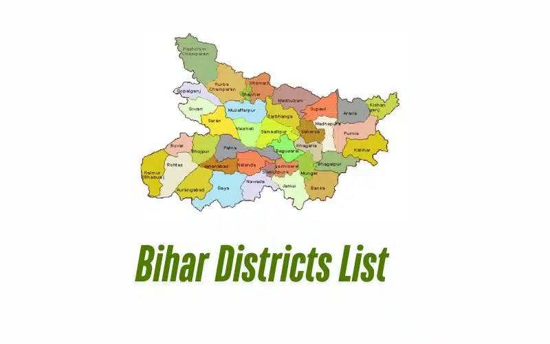
Bihar Districts List 2025 With Population & Area: Bihar has 38 districts. For improved administration, these districts have 9 divisions. Bihar district divisions are led by the administrative officer. We listed Bihar districts. View the names and population breakdown and covered area. The DM or administrative officer oversees community blocks and subdivisions in each Bihar district.
Bihar Districts List 2025 With Population & Area
Here’s a list of districts in Bihar along with their population and area as of 2025:
| District | Population (in lakhs) | Area (in sq km) |
|---|---|---|
| Araria | 28.11 | 2,829 |
| Arwal | 7.00 | 638 |
| Aurangabad | 25.40 | 3,303 |
| Banka | 20.34 | 3,018 |
| Begusarai | 29.54 | 1,917 |
| Bhagalpur | 30.37 | 2,569 |
| Bhojpur | 27.28 | 2,473 |
| Buxar | 17.07 | 1,624 |
| Darbhanga | 39.22 | 2,278 |
| East Champaran | 50.99 | 3,969 |
| Gaya | 43.91 | 4,978 |
| Gopalganj | 25.62 | 2,033 |
| Jamui | 17.60 | 3,099 |
| Jehanabad | 11.25 | 1,569 |
| Khagaria | 16.67 | 1,486 |
| Kishanganj | 16.90 | 1,884 |
| Kaimur | 16.26 | 3,363 |
| Katihar | 30.71 | 3,056 |
| Lakhisarai | 10.00 | 1,229 |
| Madhubani | 44.77 | 3,501 |
| Munger | 13.60 | 1,419 |
| Madhepura | 19.94 | 1,787 |
| Muzaffarpur | 48.01 | 3,173 |
| Nalanda | 28.73 | 2,354 |
| Nawada | 22.19 | 2,492 |
| Patna | 58.28 | 3,202 |
| Purnia | 32.64 | 3,228 |
| Rohtas | 29.59 | 3,850 |
| Saharsa | 19.00 | 1,702 |
| Samastipur | 42.56 | 2,905 |
| Sheohar | 6.57 | 443 |
| Sheikhpura | 6.35 | 689 |
| Saran | 39.51 | 2,641 |
| Sitamarhi | 34.23 | 2,199 |
| Supaul | 22.23 | 2,410 |
| Siwan | 33.30 | 2,219 |
| Vaishali | 34.95 | 2,036 |
| West Champaran | 39.35 | 5,229 |
Bihar’s Administrative Divisions
| Patna | Bhojpur, Buxar, Kaimur, Patna, Rohtas, Nalanda |
| Saran | Saran, Siwan , Gopalganj |
| Tirhut | East Champaran, Muzaffarpur, Sheohar, Sitamarhi, Vaishali, West Champaran |
| Purnia | Araria, Katihar, Kishanganj, Purnia |
| Bhagalpur | Banka, Bhagalpur |
| Darbhanga | Darbhanga, Madhubani, Samastipur |
| Kosi | Madhepura, Saharsa, Supaul |
| Magadh | Arwal, Aurangabad, Gaya, Jehanabad, Nawada |
| Munger | Begusarai, Jamui, Khagaria, Munger, Lakhisarai, Sheikhpura |
Read Also: Andhra Pradesh Districts List
Bihar Districts Key Facts
- Location: Bihar is a state in eastern India. It shares its borders with Nepal.
- Capital: The capital city of Bihar is Patna.
- Rivers: The Ganges River flows through Bihar, providing water for agriculture.
- Language: The main languages spoken in Bihar are Hindi and Maithili.
- Economy: Agriculture is the main occupation. Major crops include rice, wheat, and sugarcane.
- Education: Bihar has several important educational institutions, including Patna University and Nalanda University.
- Culture: Bihar has a rich cultural heritage with festivals like Chhath Puja being celebrated widely.
- Tourism: Bihar is known for its historical sites like Bodh Gaya, where Buddha attained enlightenment.
- Population: Bihar is one of the most populous states in India.
| Visit the official website to check all details: https://state.bihar.gov.in/main/CitizenHome.html |